
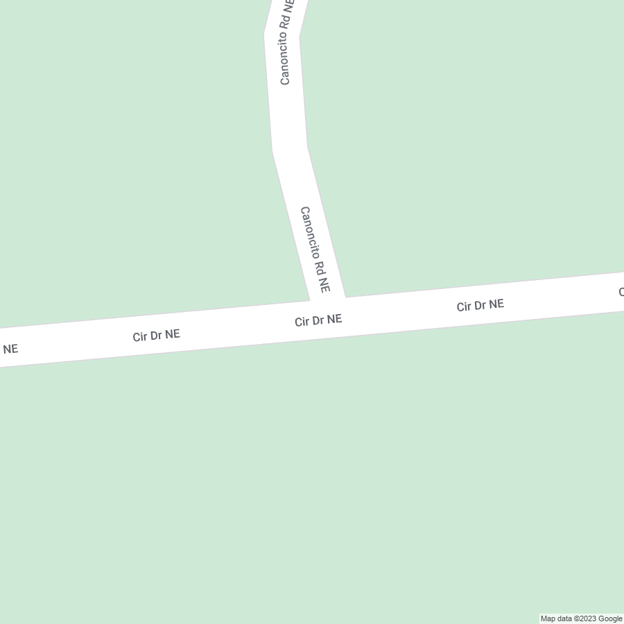
Today I was amused to learn that the Google maps driver drove up Circle Drive
Maybe I'm just easily amused. Image uploads are not working, so i'll include this. But now i'm curious if Canoncito Rd is an actual private drive, or if the residents just stuck that sign there to keep people out.
 https://www.google.com/maps/@35.228934,-106.4863065,3a,60y,312.04h,70.82t/data=!3m6!1e1!3m4!1sfeBaxWhDOhJhHAQXpg_lxQ!2e0!7i16384!8i8192?entry=ttuOpen linkView original on lemmy.world
Lol idk but Ive never been past the gate in a vehicle 😹 is it pueblo land? Is it national forest? Idk. Good on the maps mobile for trying it out, on street view I see a sign that says 'no public vehicle access' at the gate by the piedra Lisa parking lot, whatever that means.
Looks like it's regular unincorporated Sandoval county